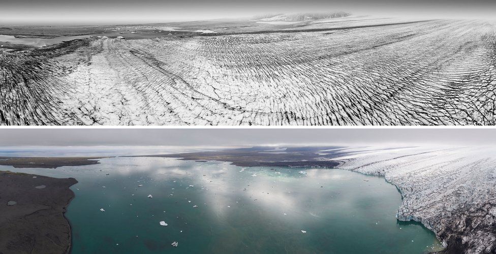
AKIPRESS.COM - A photography project has highlighted the extent of ice loss from Iceland's glaciers, BBC reports.
A team from Scotland and Iceland compared photographs taken in the 1980s with present-day drone images.
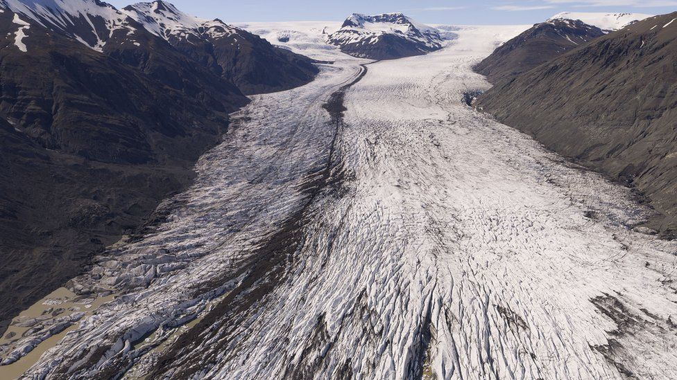
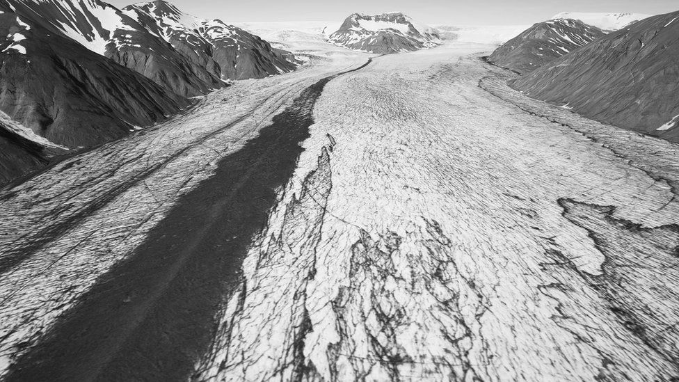
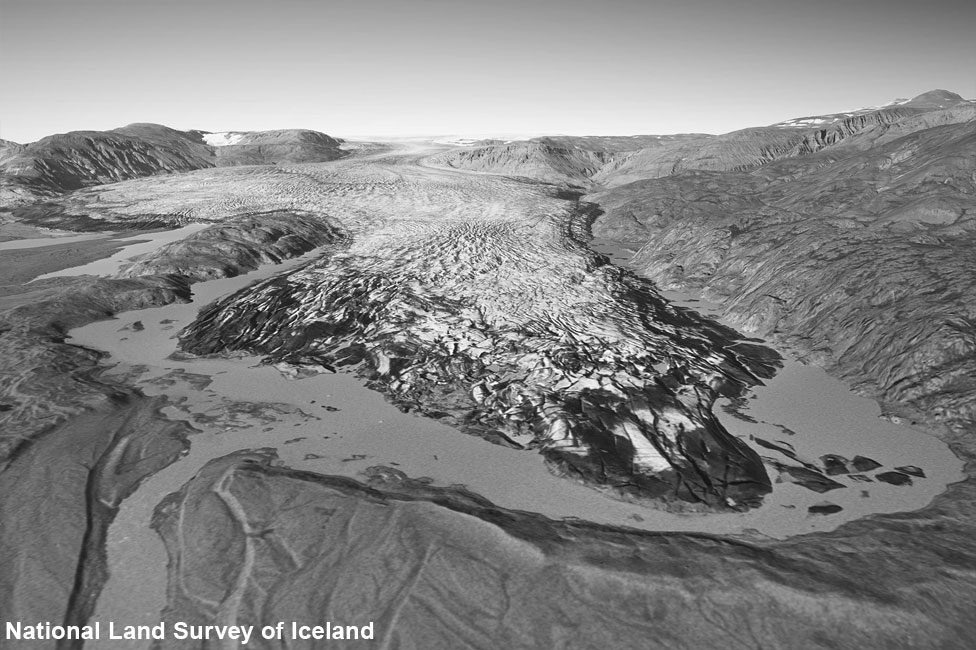
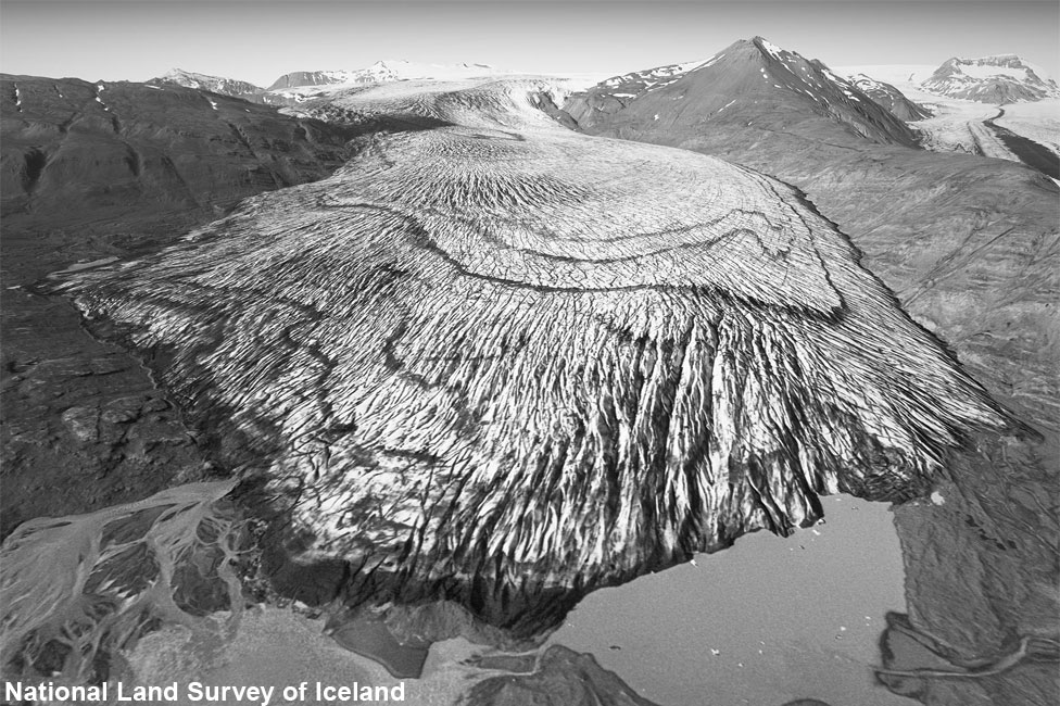
They focused on the south side of the Vatnajökull ice cap, which covers about 7,700sq km of land.
Dr Kieran Baxter, from the University of Dundee, said: "We saw a staggering difference in a very short amount of time."
The project - which also involved the University of Iceland and the Icelandic Meteorological Office - used aerial photos taken by a survey plane in the 1980s.
Thousands of images were taken, often of overlapping areas, and the team then used software to transform these into a hi-res 3D model of the terrain.
Dr Baxter said this meant that photographs looking straight down on to the landscape could then be re-framed to show the terrain from different angles.
He added: "We can then align them with drone photographs that we can take today."